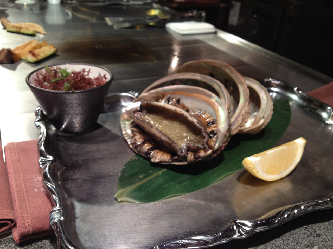
And then an abalone danced for us.
And then this happened.
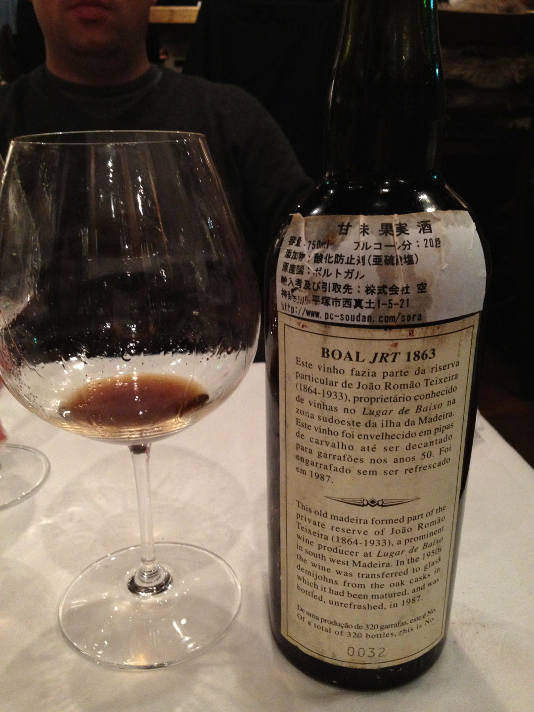
150 year old Madeira? Sure.
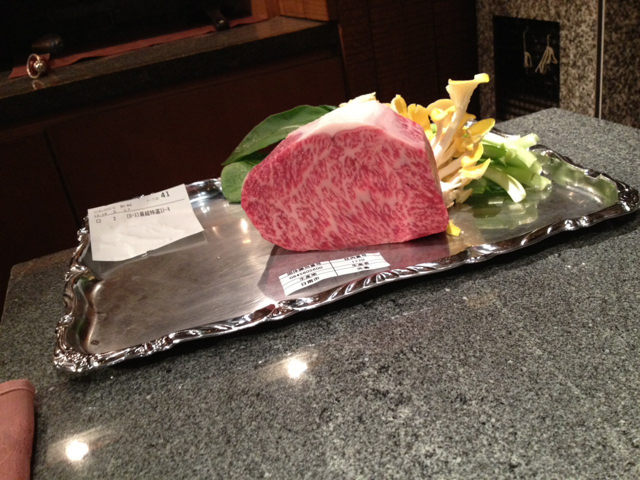
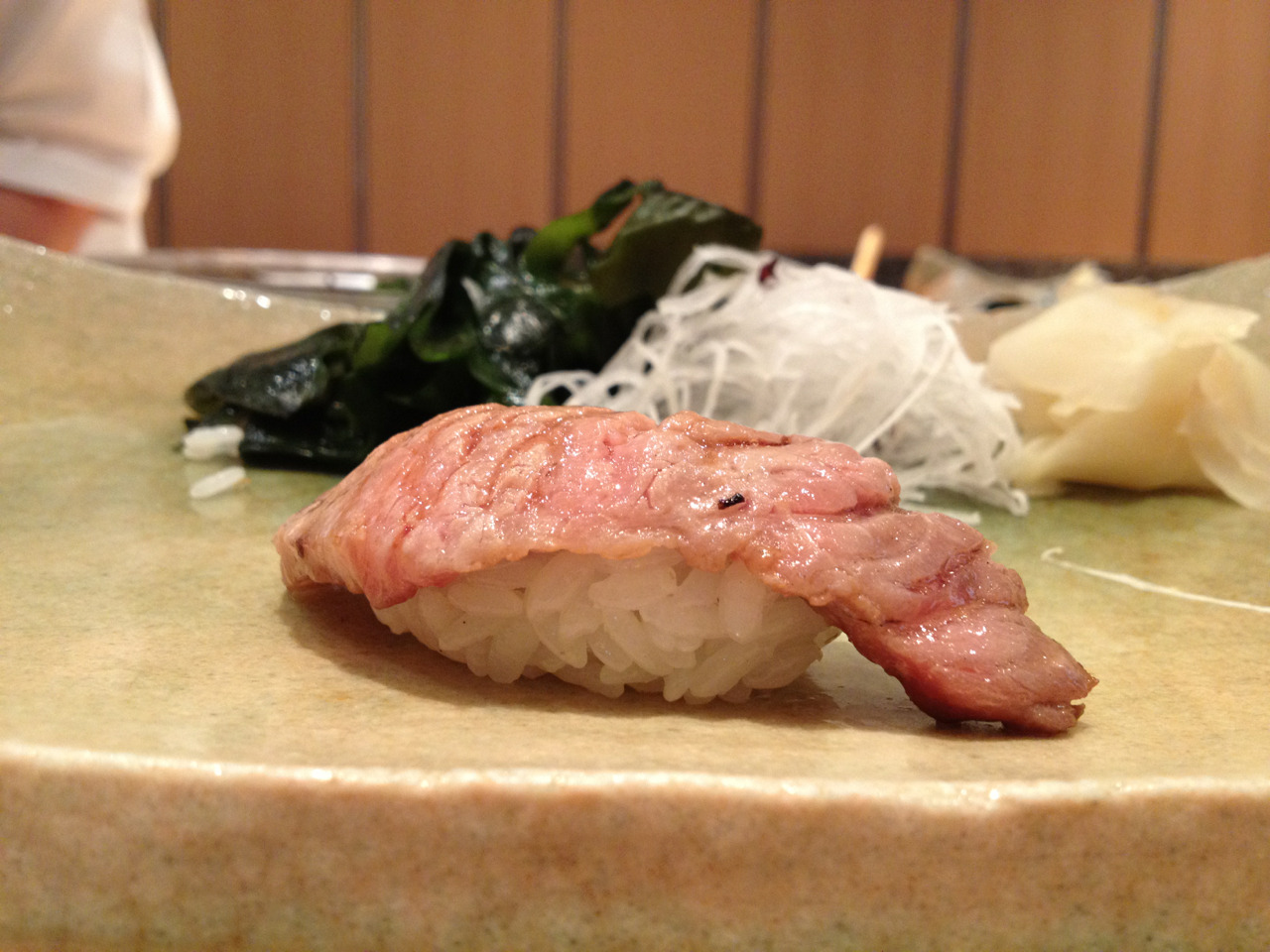
Beef? Tuna? Delectable.
Delicious shrimp waiting to meet their delicious fate.
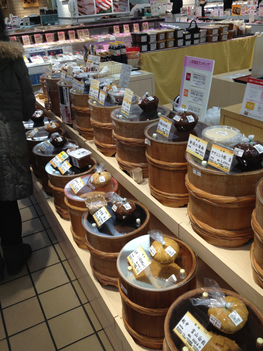
Miso as far as the eye can see.
Oink oink.
This is where the tenpura deliciousness happens.
Have a beautiful hair day!
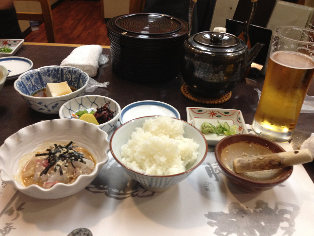
It puts the red snapper on the rice or it gets the hose again.
Mister B
What we’re eating